How to Spend One Day Driving Through Grand Teton and Yellowstone
I recently returned from a 10-day road trip through Idaho, Wyoming, and South Dakota. When my family decided to head to eastern South Dakota to visit family this summer, I decided to make a trip out of it and see as much scenery as possible along the way. It was Korri's first time to that part of the country, so I was very excited to show him places of which I have fond memories and discover new favorite locations together.
We hit up almost all the sights between Boise and eastern South Dakota: Grand Teton National Park, Yellowstone NP, the Bighorn Mountains, Devils Tower NM, the Black Hills (Spearfish Canyon, Needles Highway, Custer State Park, Iron Mountain Road, Mt. Rushmore), and the Badlands (with a stop at Wall Drug, naturally). We didn't do as much sightseeing on the way home, but we did follow almost the exact route back; we added Chief Joseph Scenic Byway and Beartooth Highway on our way into Yellowstone.
I won't be doing individual posts about each day or location of our trip, but I did want to share how we pulled off a day trip through Grand Teton and Yellowstone National Parks. Contrary to popular belief, it is possible to do a day trip through those parks and see quite a bit! This ended up being a perfect way to see the parks because Korri was still using his crutches and couldn't do any hikes or long walks, and I don't really feel like we missed out on too much considering the situation (we are already planning on coming back when he's healed and can hike!). We ended up doing two days trips: one on our way east and one on our way west. Clouds hid the Tetons the first time we went through, so we changed our plans coming home and drove through the park again on our way back. It ended up being worth it!
Warning: This post contains way more text than I had originally intended, but I tried to sprinkle in lots of photos in case you came just for those! ;)
FROM WEST TO EAST
START: Driggs, ID / END: Cody, WY
We drove through the parks on a Saturday. Not the best plan, but it's how it ended up working, so we had to roll with it. Knowing that Yellowstone could take almost the whole day to drive through, we woke up at 6:30 am to make sure we weren't arriving in Cody at dark. (For the record, I don't even wake up that early for work, LOL.) We fueled up the car and were on our way out of Idaho by about 7:30 am.
We drove through Jackson, WY, and made a stop at Dornan's for sandwiches to keep in the cooler and eat for lunch later in the day. We also stopped at the Grand Teton visitor's center on our way in for a stamp in my passport book.
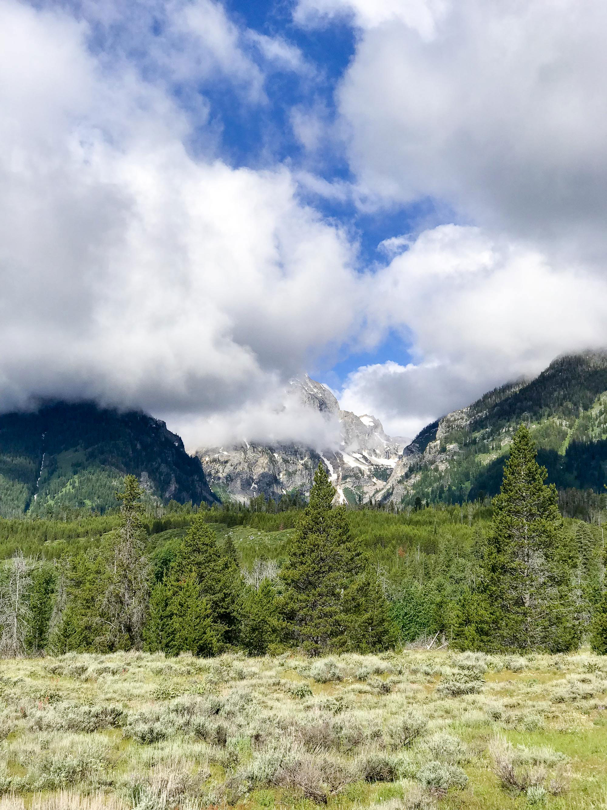
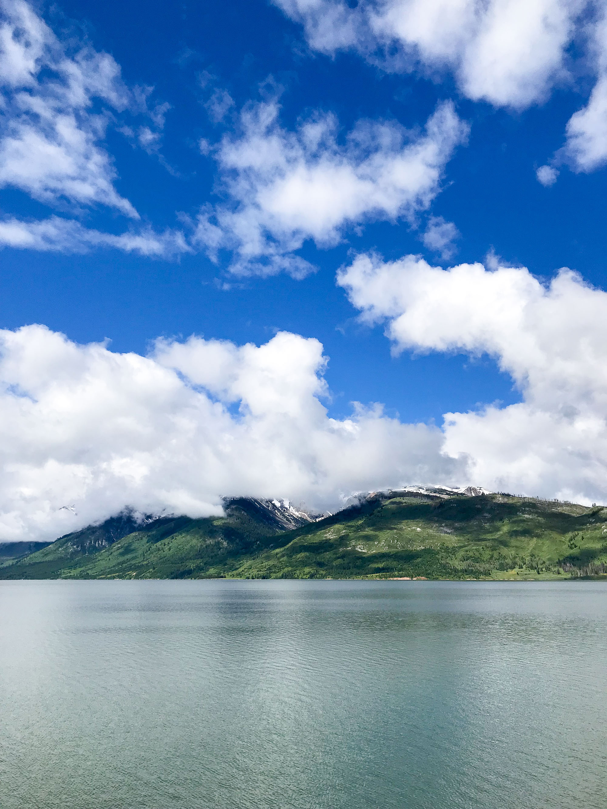
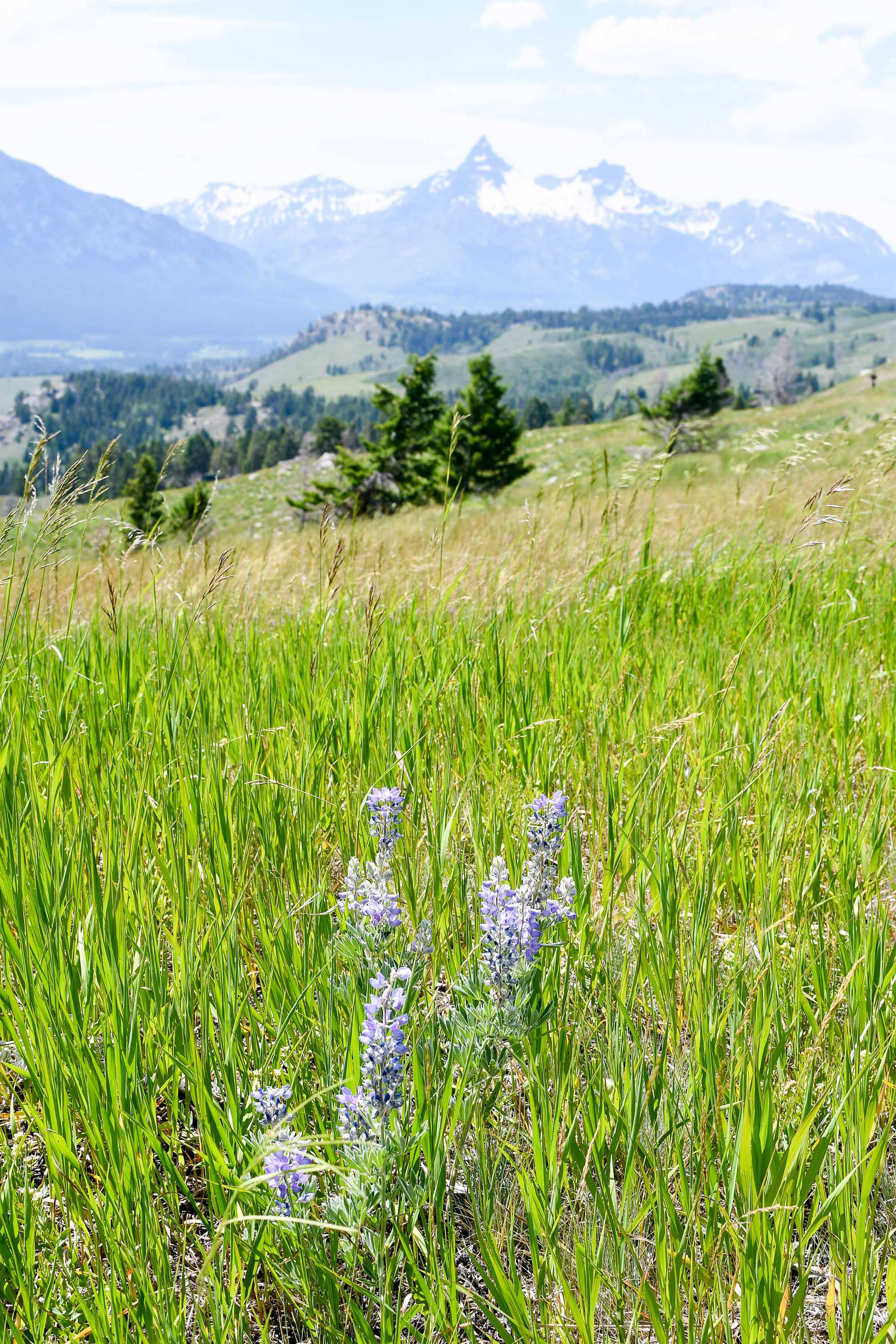
The entire loop past the entrance of the park was about 43 miles. We drove it quicker than I thought we would because it was cloudy and we couldn't see the mountains. Bummer! We stopped only a couple of times to take photos. We got back on the highway and made a final stop at the Jackson Lake Overlook before continuing to Yellowstone.
We made it to the south entrance of Yellowstone at 10 am, then sat in line for another 15 minutes. I'm not sure what took so long, but here's a tip if you make a visit: you can find all the info you need at any of the visitor's centers, so don't hold up the line talking to the ranger at the entrance. ;) I bought a national parks annual pass prior to our trip since it cost only $80 and we were planning to visit so many parks. It made entry even easier!
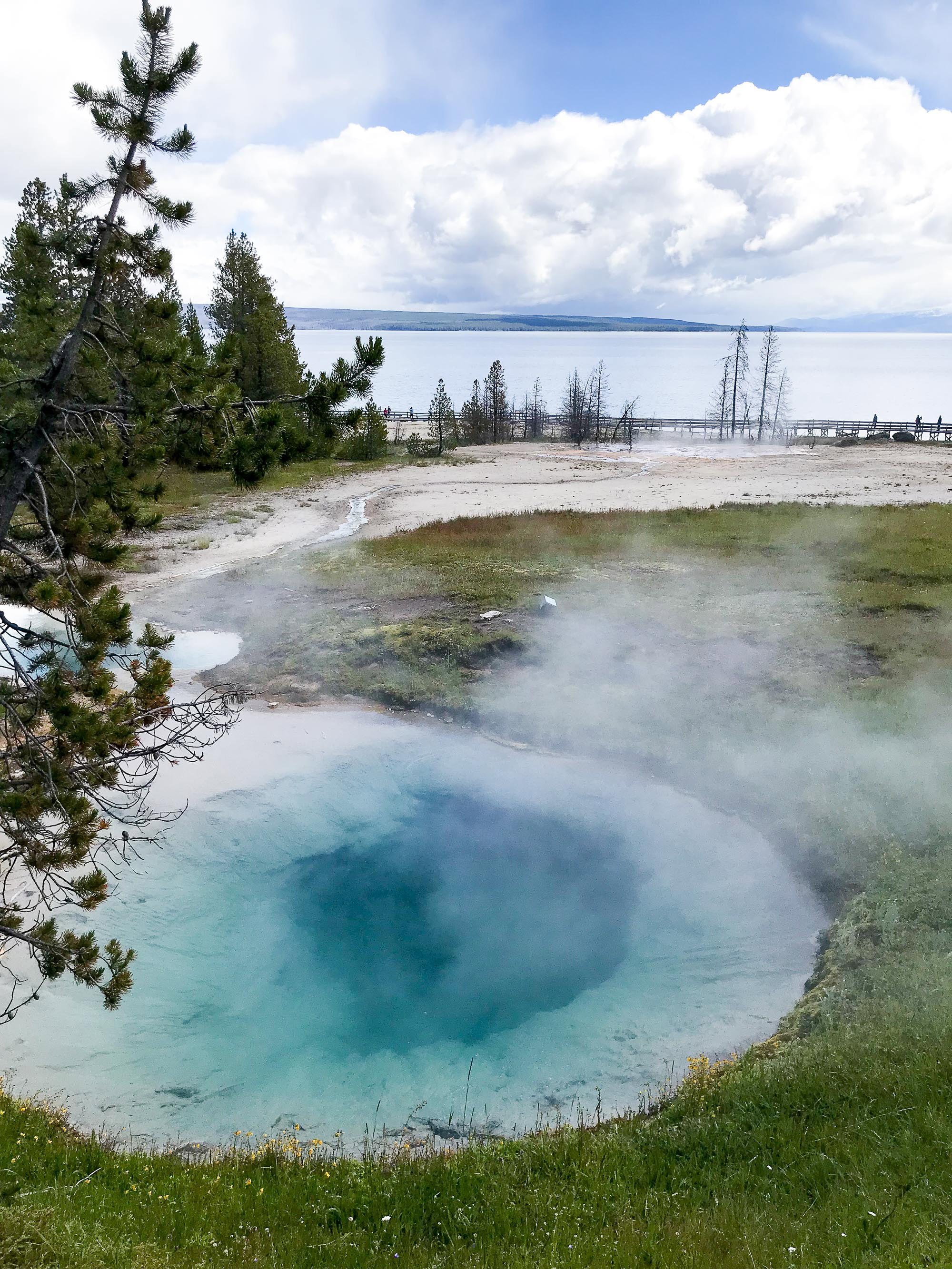
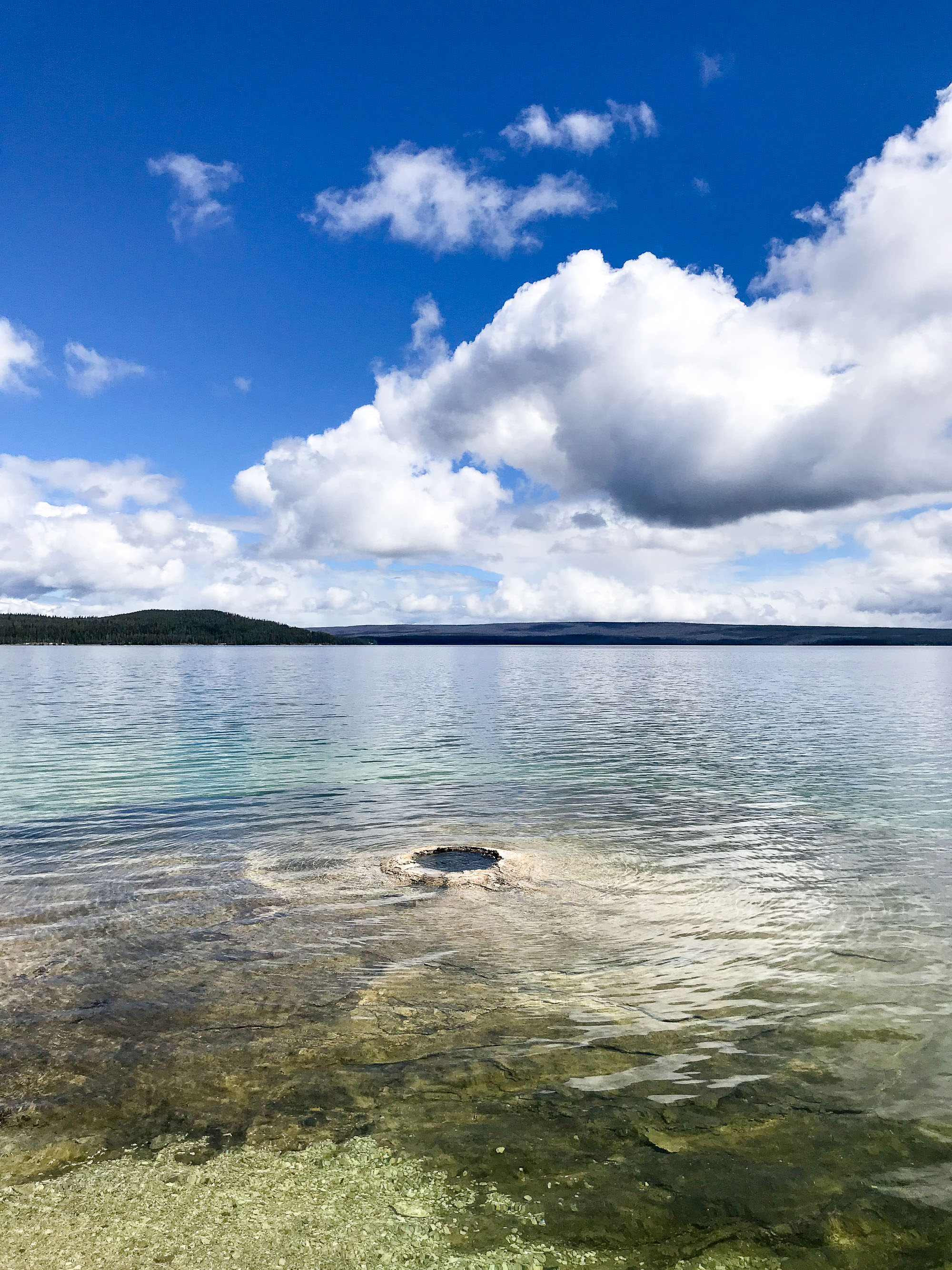
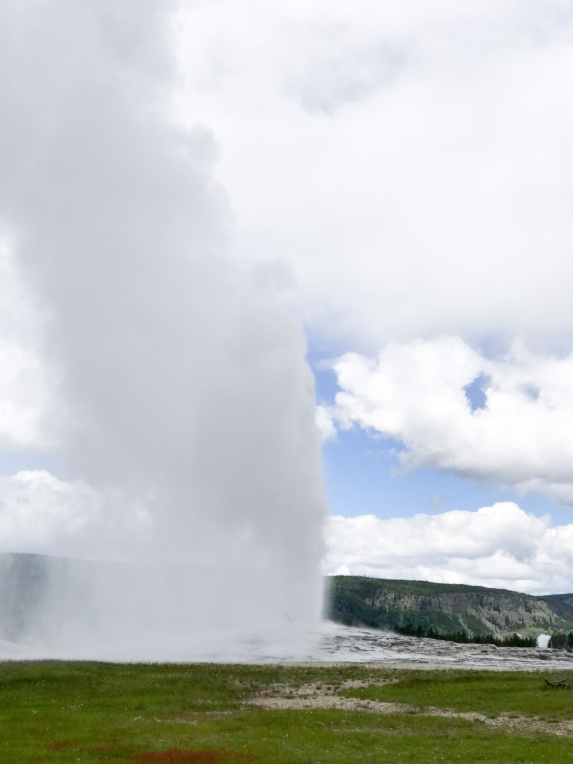
Since we arrived from the south, our first stop was at West Thumb Geyser Basin, where we actually got out of the car and walked around. It was already pretty busy when we got there at 10:45-11 am. We continued on the loop and made a stop at Old Faithful. It was extremely busy around noon, as you would expect, but luckily we didn't have to wait too long for the geyser (it erupted at 12:30 pm). I made the mistake of trying to leave right after the eruption and we sat in traffic for what felt like forever.

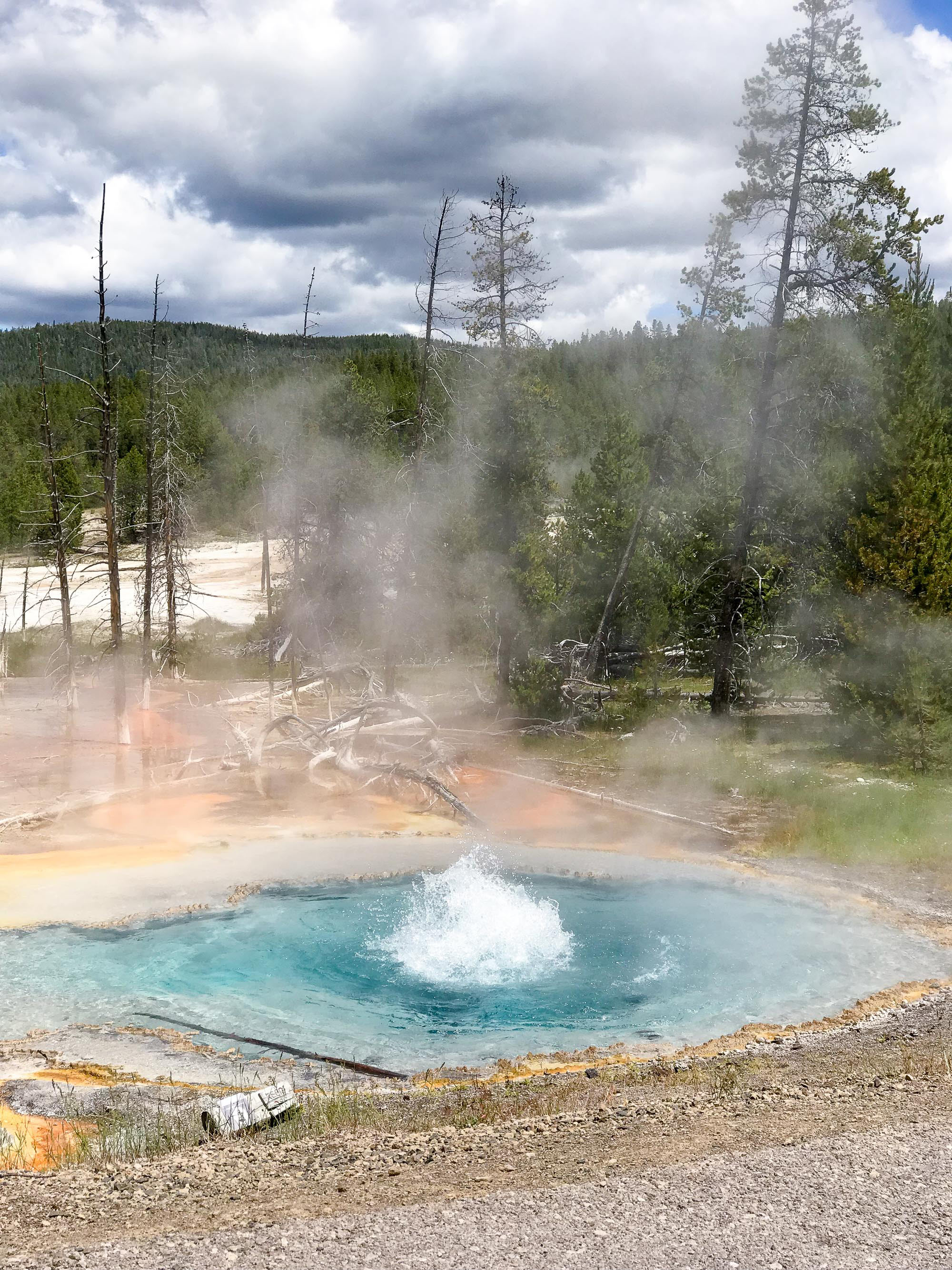

After Old Faithful, I wanted to stop at the Black Sand Basin, Biscuit Basin, and Grand Prismatic, but all of the parking lots were full so we just did drive-bys. In my opinion, one of the highlights of the trip was taking the lesser-known one-way drives that are closed to trailers and RVs. We did the Firehole Lake Drive and saw many geysers right from the road, and we also did the Firehole Canyon Drive. Korri loved seeing that canyon, and he never had to leave the car to enjoy it.
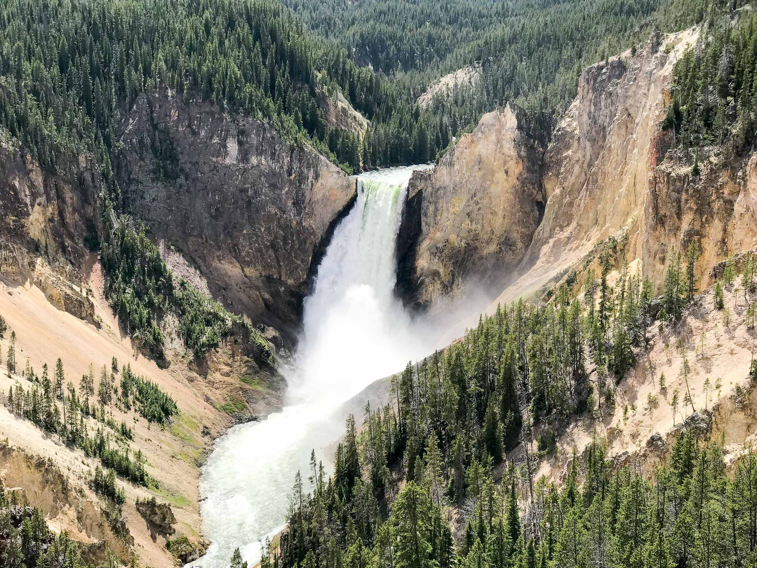
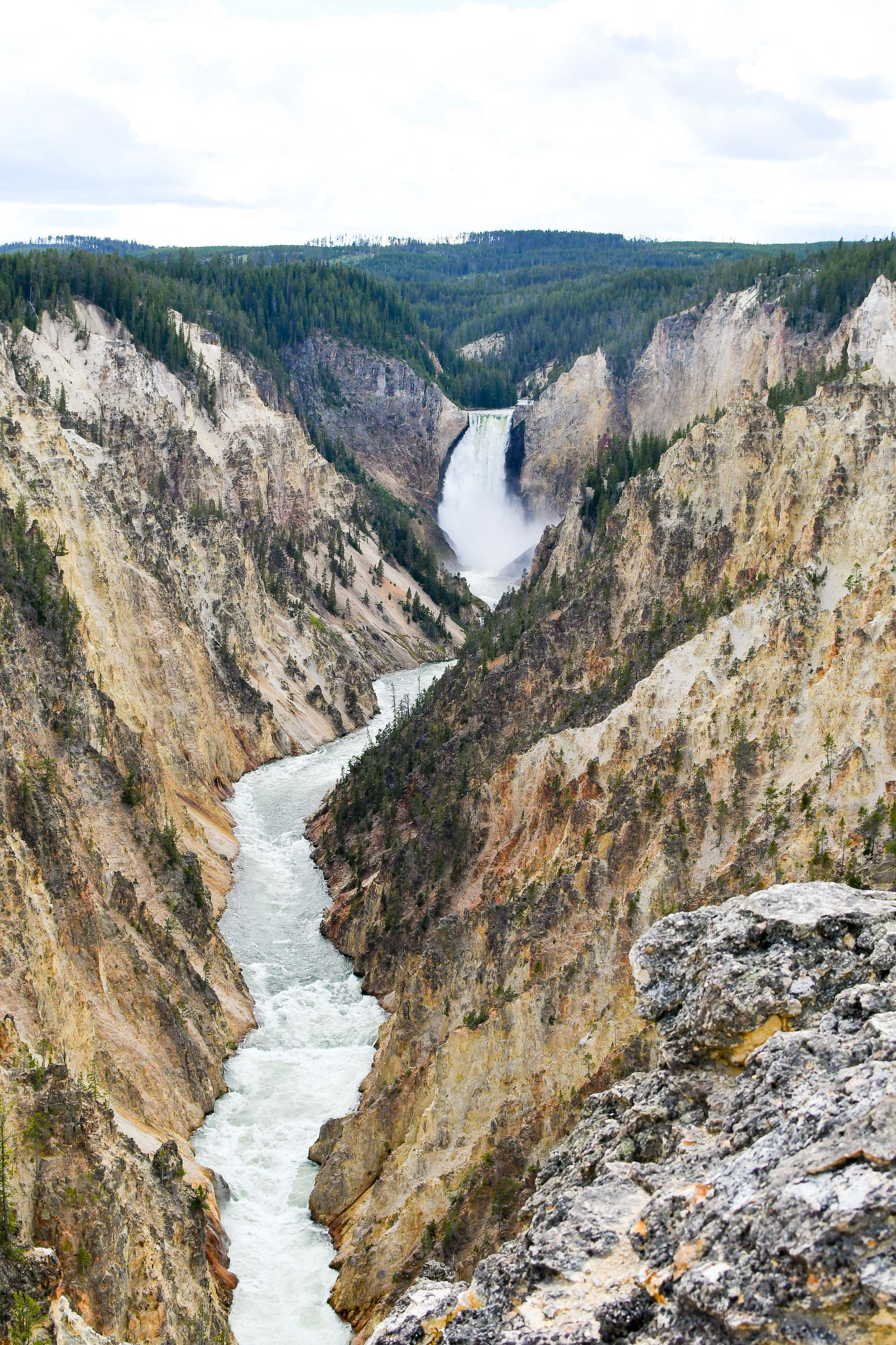
We skipped the Norris Geyser Basin (too much walking and likely too crowded) and headed straight for Canyon Village and the Grand Canyon of the Yellowstone. At this point, we were making really good time because we saw no wildlife, so there were no wildlife jams on the road. Haha! We checked out the North Rim drive, stopping at the overlooks easily accessible from the road (lower falls), and then headed back to the village to eat our sandwiches and stamp my passport book. By this point it was around 3:30 pm (we had been snacking most of the day).
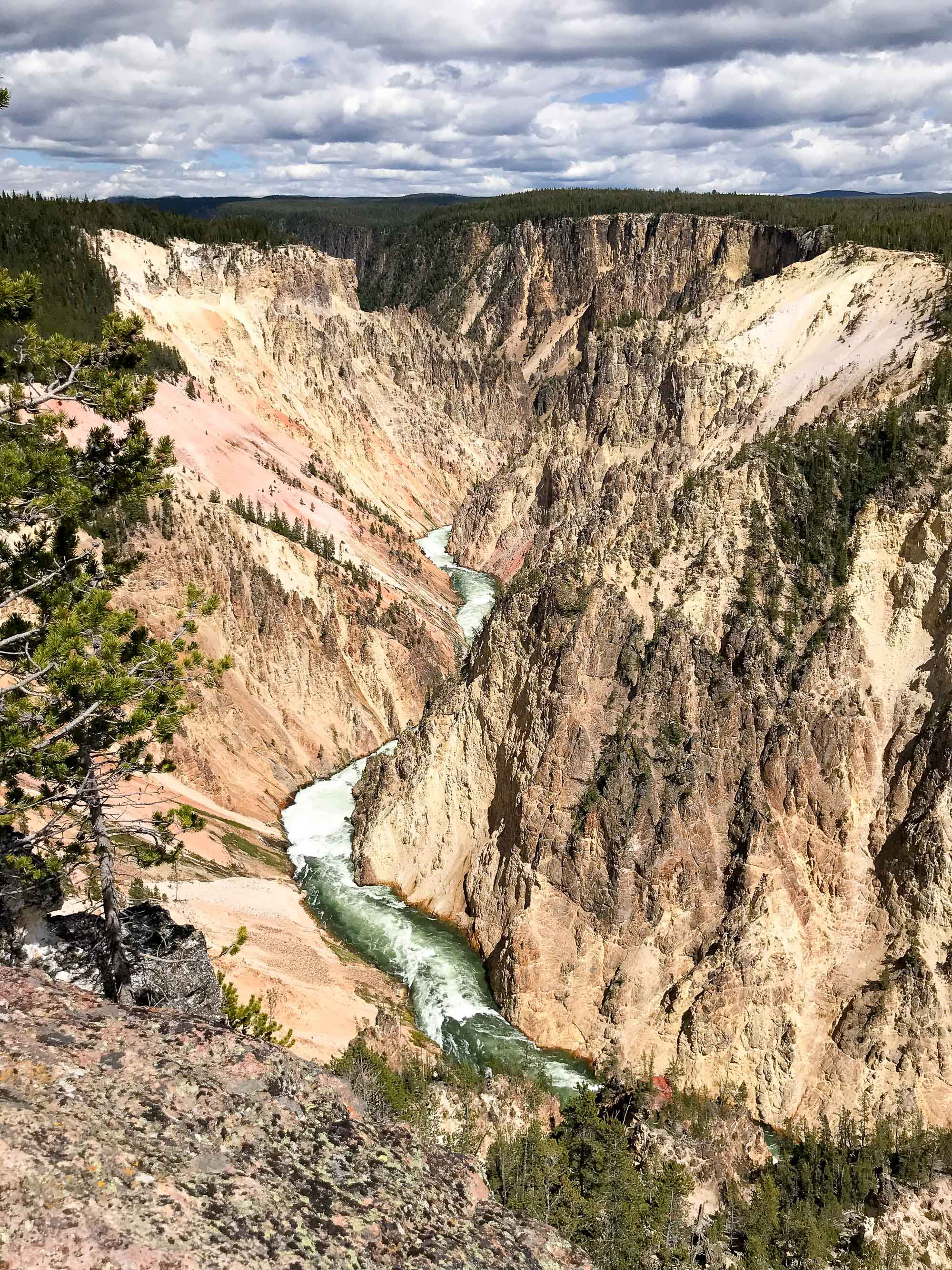
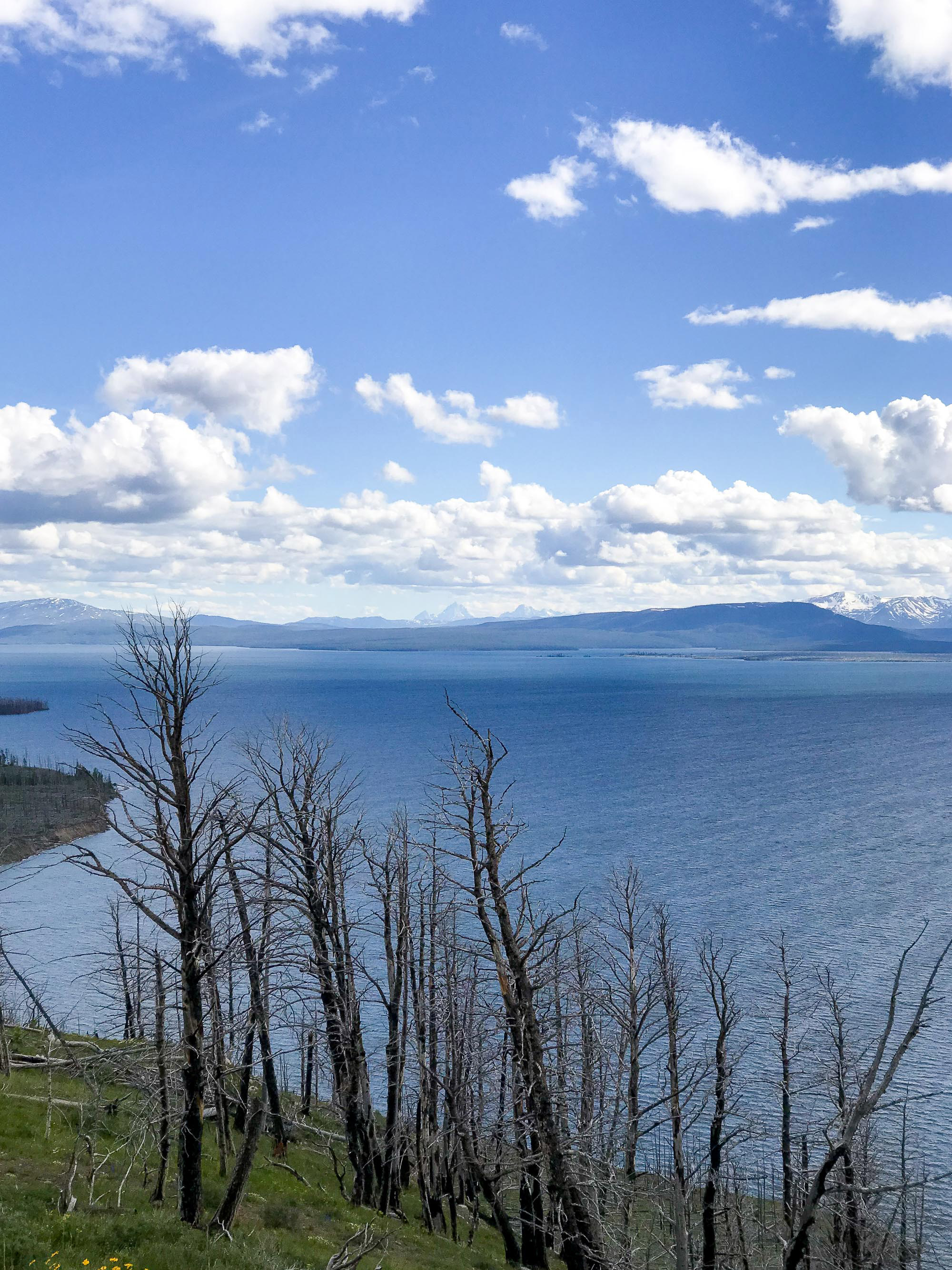
After relaxing for a while and giving Korri's knee a break, we ventured out to the South Rim drive and Artist's Point. It was a fairly long walk from the road (and very crowded) but definitely worth the view! We finished up by driving down to Fishing Bridge, but the road down there is currently all torn up and it was quite a mess, so we didn't end up stopping. Our last stop in the park was at the Lake Butte Overlook, where we could see the Tetons out in the distance, unobscured by clouds. Of course. ;)
We drove out the east entrance (after getting stopped by a couple of buffalo on the road!) and through one of the most beautiful canyons! I had no idea that area was so pretty. It was an easy hour drive from the entrance to Cody, and we were oohing and aahing at all the geology. We made it into town earlier than I had expected (about 7:30 pm), which was nice so we could chill out and rest/ice Korri's knee in preparation for the next day's adventures.


—
ROUTE FROM WEST TO EAST

via Google Maps
FROM EAST TO WEST
START: Greybull, WY / END: Driggs, ID


Our trip from east to west looked a little bit different because we focused mostly on the drive to Yellowstone and didn't do any sightseeing in Yellowstone itself. We spent a long time in the car on the way back through the parks!
We opted to stay in Greybull instead of Cody the night before because it was more doable in a day from eastern South Dakota and plus it was a lot less expensive to stay there versus in Cody. Our motel was super cute and we would definitely stay there again! We got a late start to the day and didn't leave Greybull until about 9:30 am. We stopped at the grocery store in Cody to get some snacks and weren't back on the road until about 11 am.
Korri wanted to drive through Chief Joseph Scenic Byway, then backtrack on Beartooth Highway a ways before continuing to Yellowstone. Our first plan was the stay the night before in Red Lodge and then drive all the way to Boise via Beartooth Highway and Yellowstone (skipping the Tetons), but that would have made for a very long day. I'm glad we changed our plans!
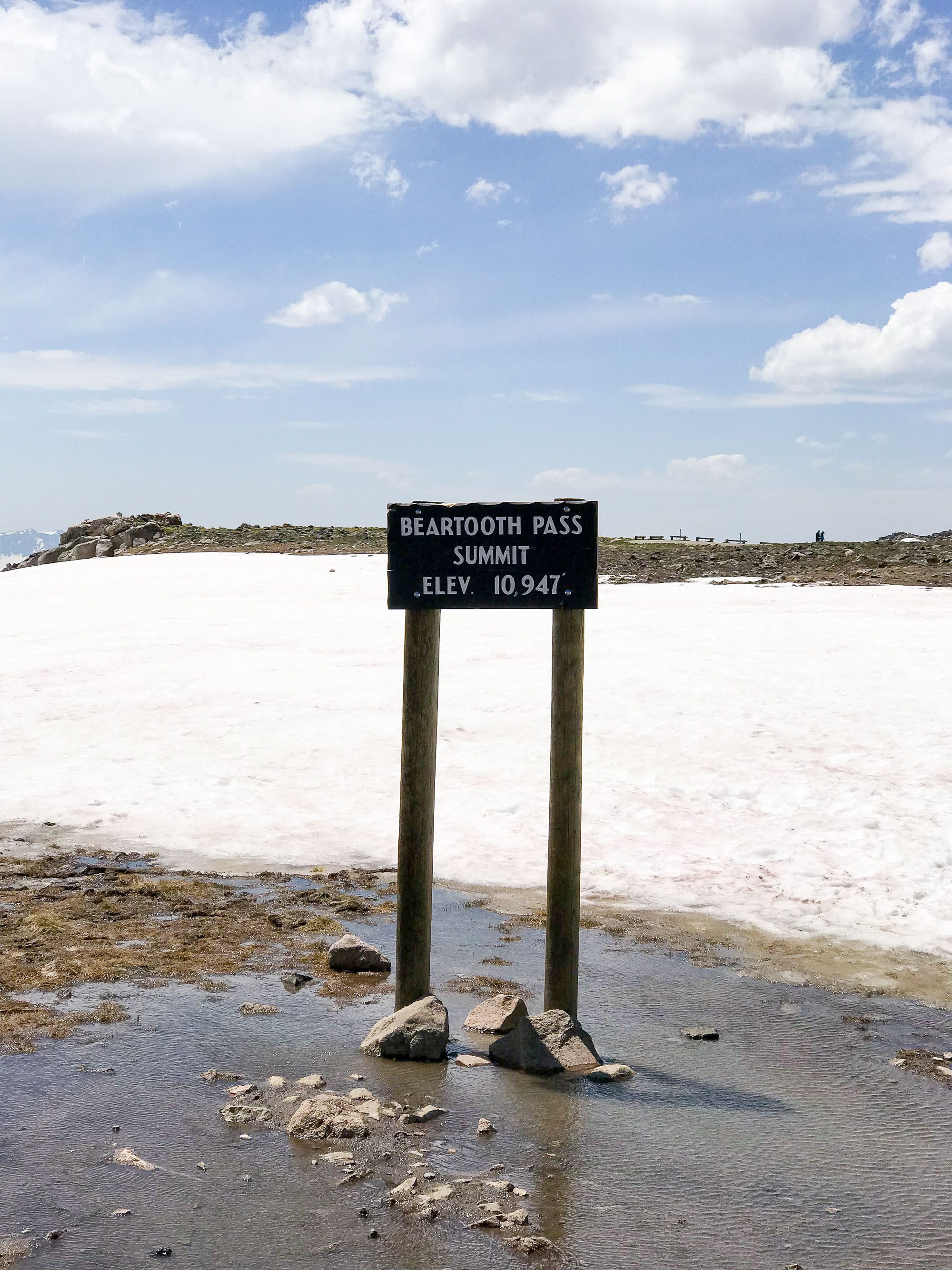
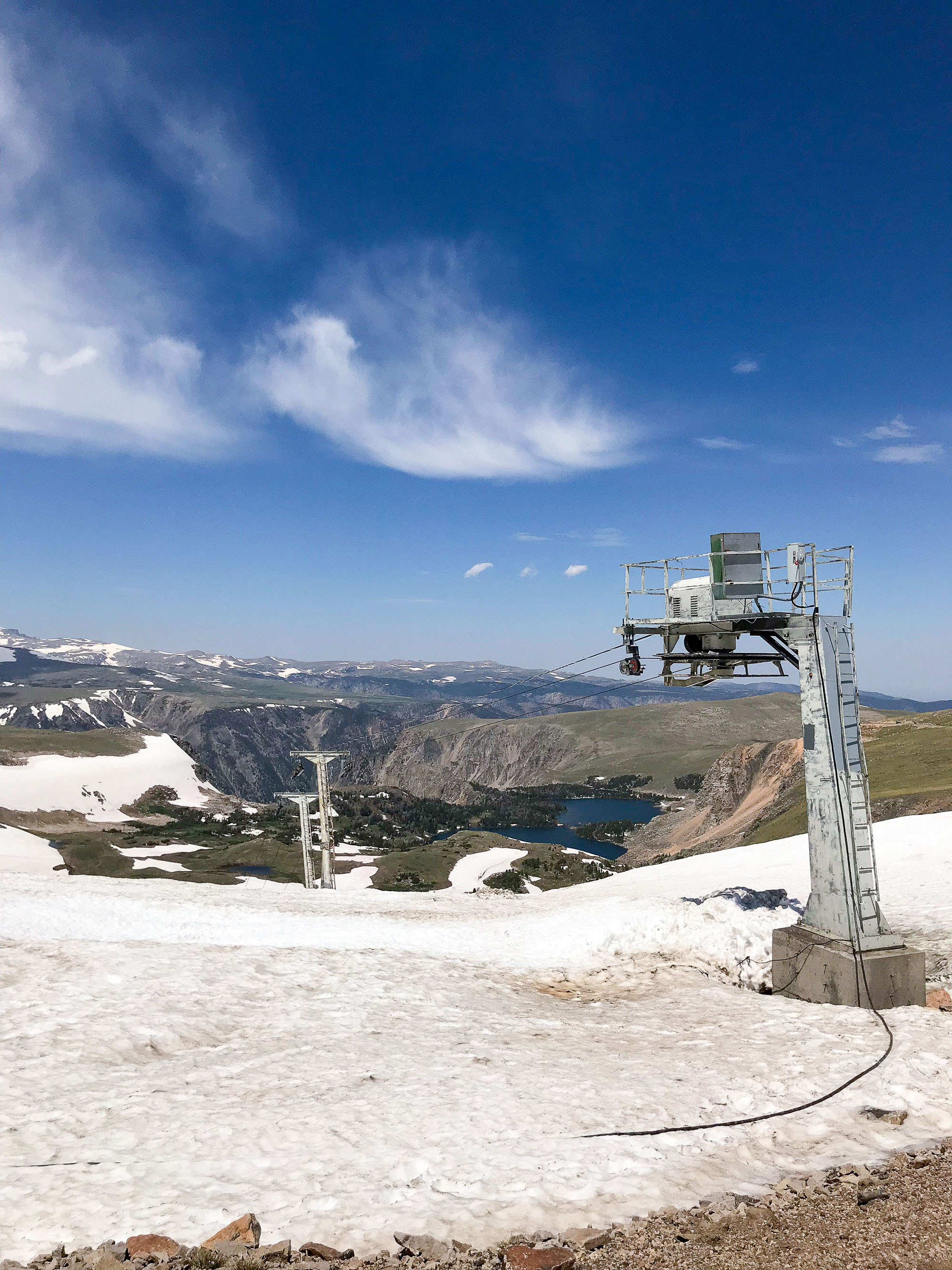
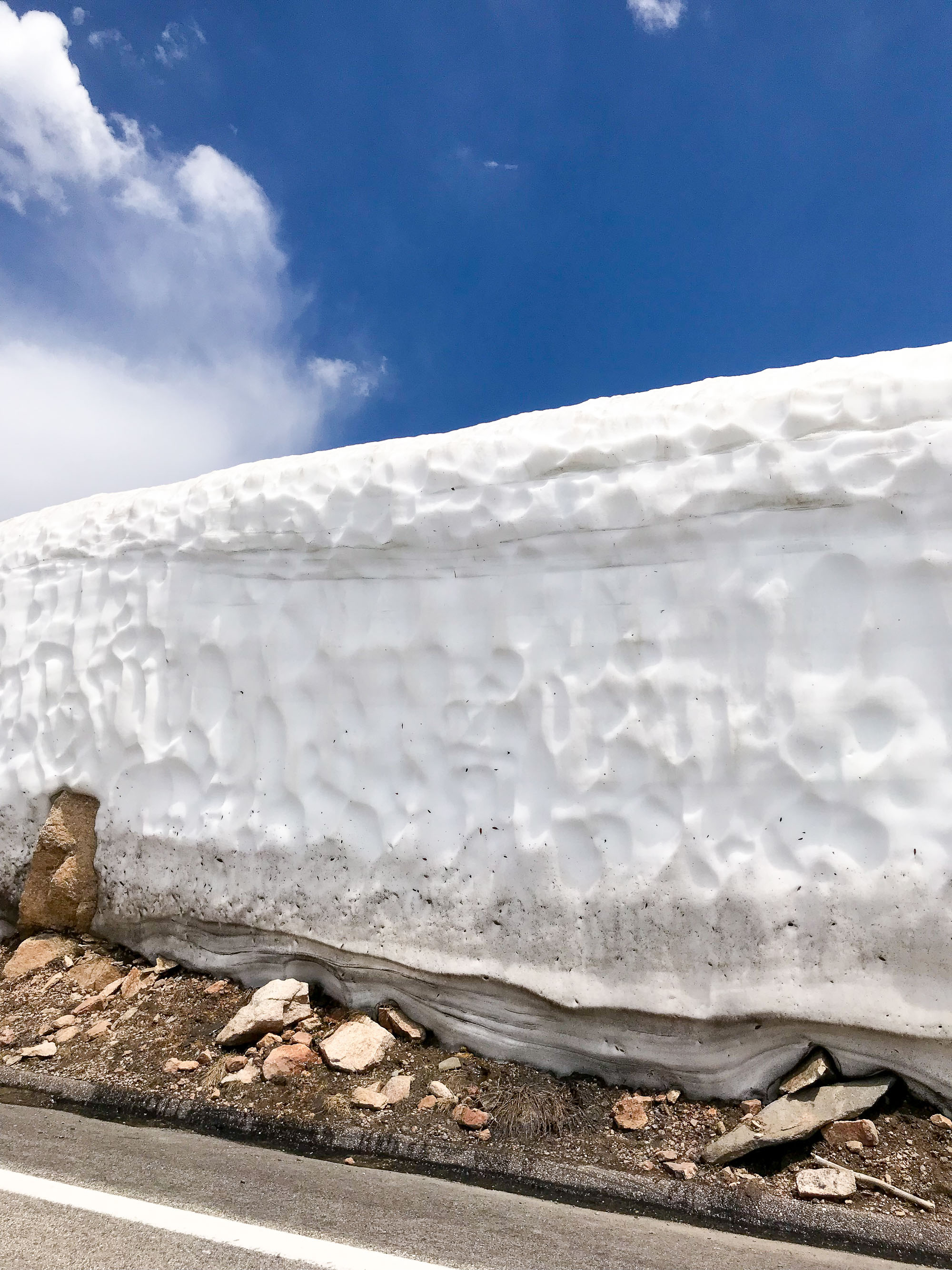
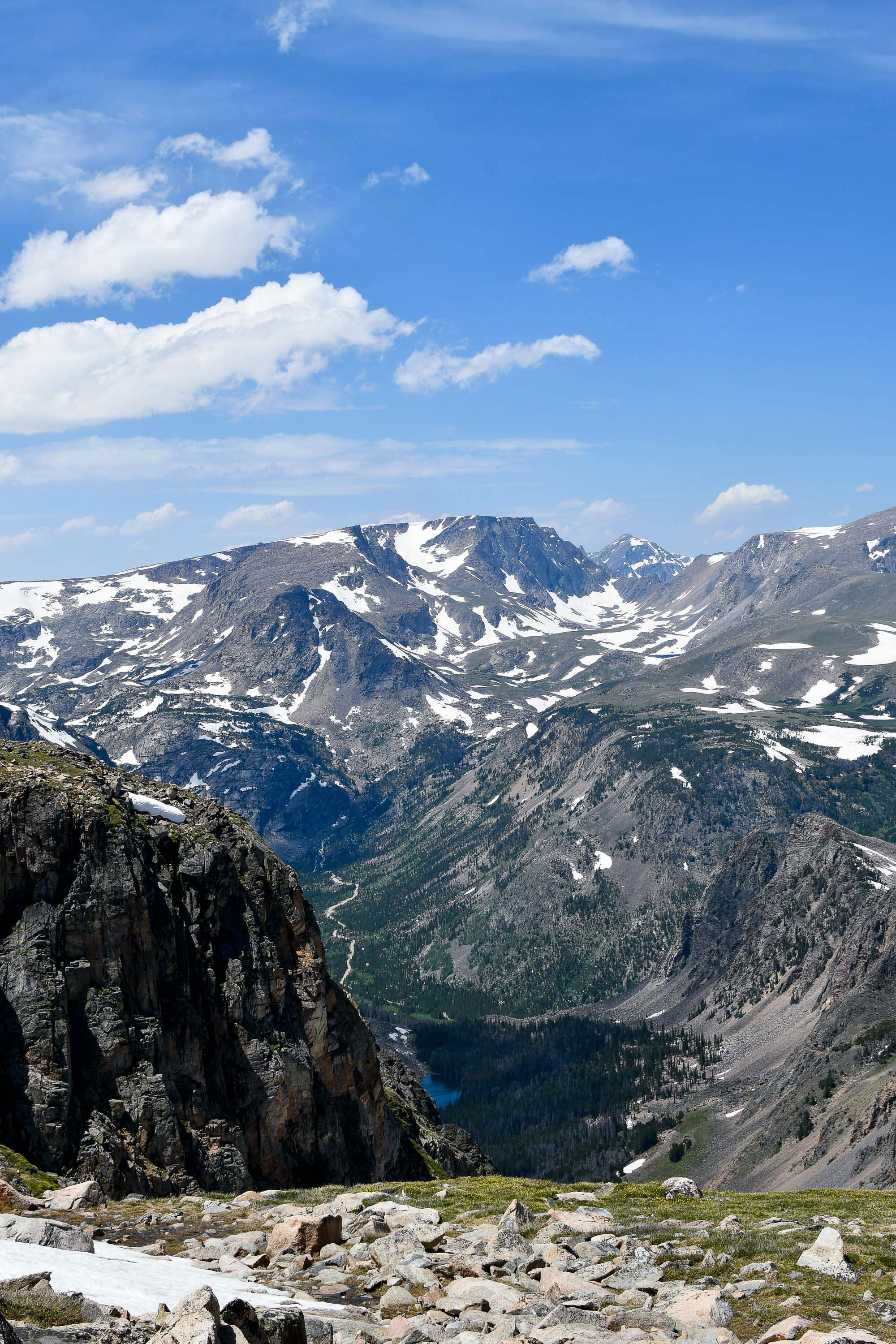
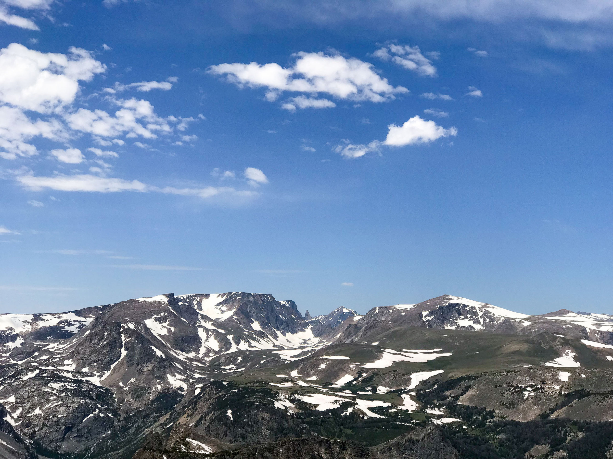
Because we got a late start, we didn't get to the junction with Beartooth Highway until about 1 pm, and we spent a lot of time driving through and stopping to take photos along Beartooth. It was a gorgeous drive! We made a pit stop in Silver Gate, MT, for ice cream at Stop The Car Trading Post before going through the northeast entrance of Yellowstone at about 3:45 pm. I was getting a little worried about time at this point since we had less than six hours of daylight and a full drive through Yellowstone and the Grand Tetons ahead of us!


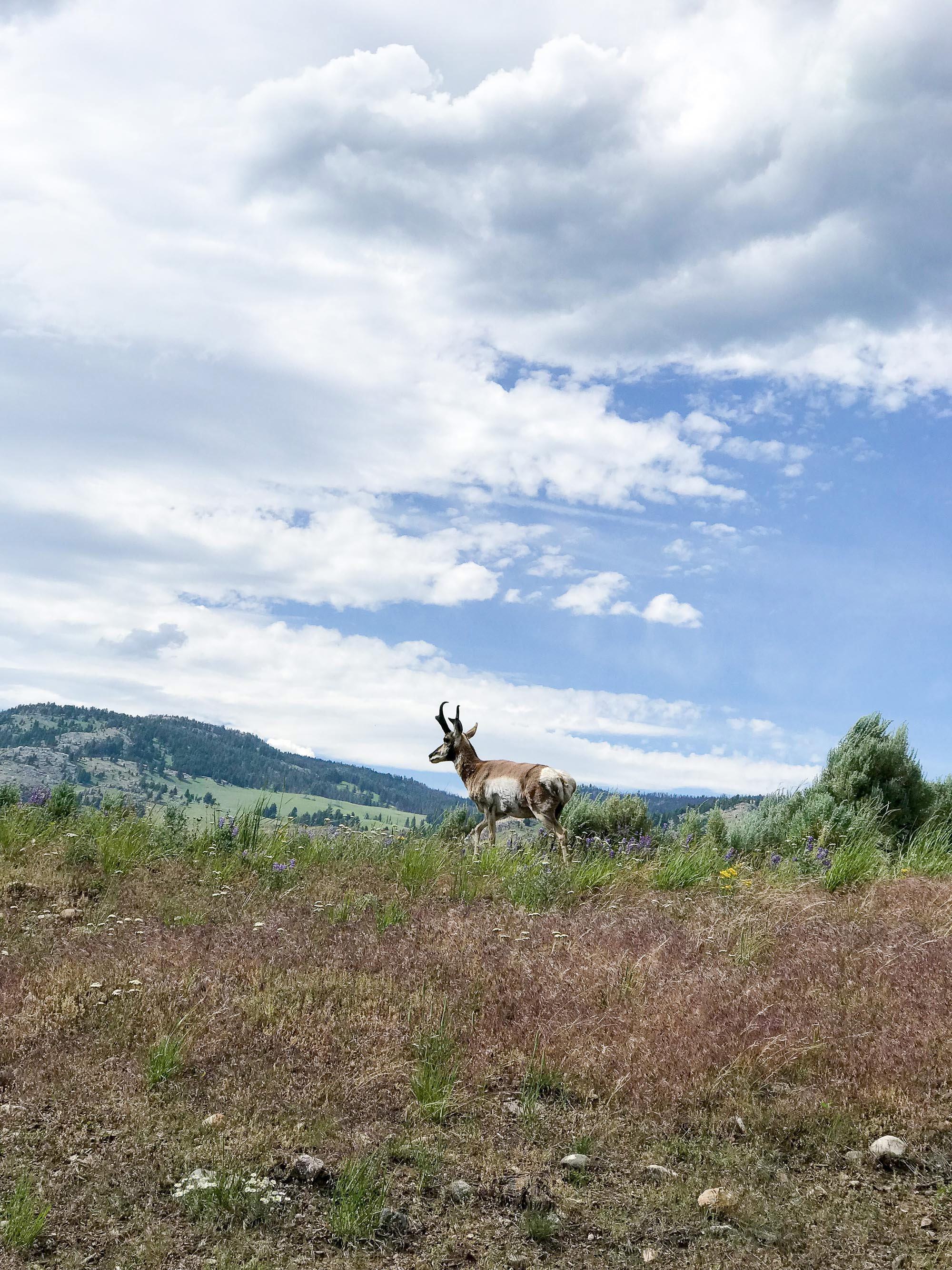

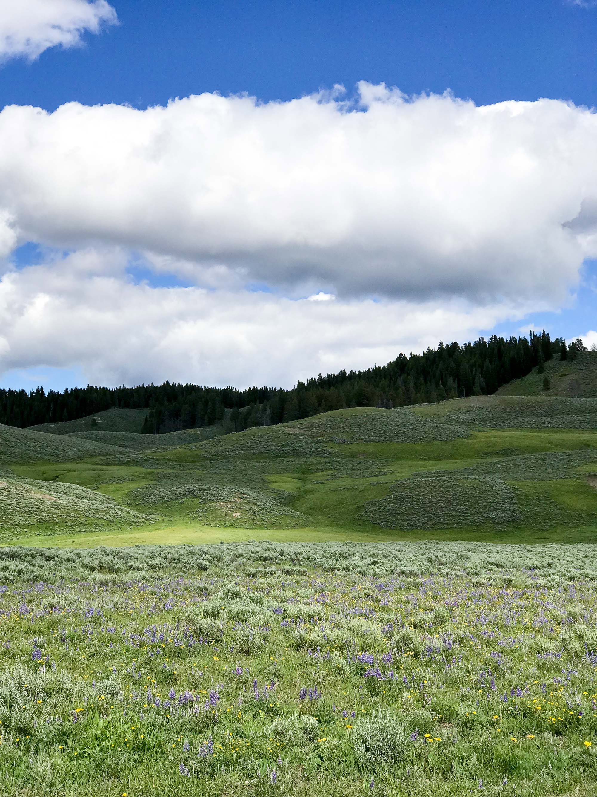
We immediately saw a ton of buffalo in Lamar Valley and had to slow down for people taking photos. That's what I was worried about! There was also a crowd claiming to be looking at a brown bear, but we didn't see the bear so we can't confirm. We got stopped for quite a while due to grizzly bears, and we did see one cub, so that was cool! We headed south back through Canyon Village, making a stop for—you guessed it—a stamp in my passport book and some food. Hayden Valley had a number of buffalo and many more stops on the road due to people ogling. At this point we were getting annoyed, haha. All the stopping was what I had remembered about Yellowstone in years past.
We finally got out of the park at about 7:15 pm. 3.5 hours wasn't too bad considering all the stops we were forced to make along the way, but we only had about two more hours of daylight and wanted to get over Teton Pass before dark.
We stopped again at Jackson Lake Overlook, this time with no clouds obscuring the Tetons. It was such a beautiful evening! We took our time driving through Grand Teton National Park again and made tons of stops for photos while marveling at the beauty of those mountains. We can't wait to go back and experience them at all hours of the day!
It was darkening quickly as we drove out of the park, but luckily we made it over the pass with no problems and into Driggs by the time night fell. I checked us into our hotel at about 9:45 pm, and then we headed back to the grocery store to grab food since all the restaurants were closing. It was our last night before heading home, but the adventure wasn't quite over yet. :)


—
ROUTE FROM EAST TO WEST

via Google Maps